

Egypt, Kenya and Uganda have jointly launched a climate-monitoring payload to the International Space Station, marking a new phase in regional cooperation on Earth observation as governments across East Africa seek more reliable data to manage growing climate risks to agriculture, infrastructure and public finances.
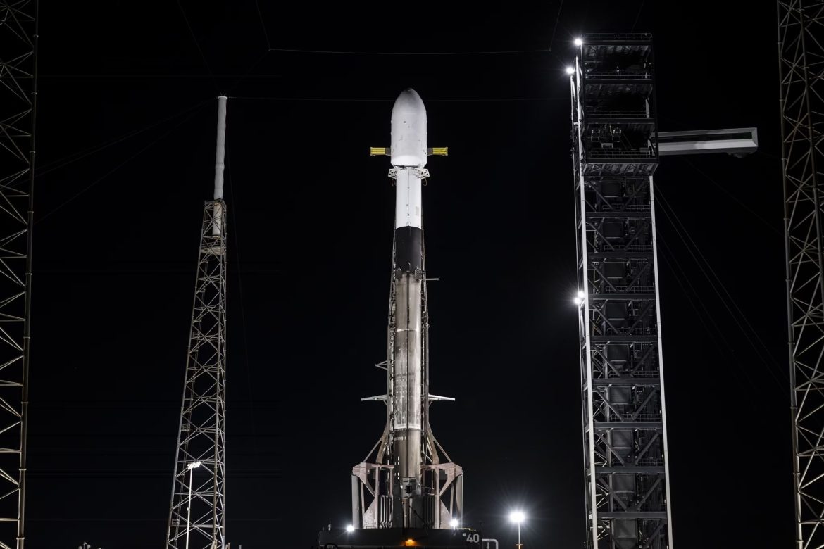
The Climate Camera (ClimCam) payload was carried aboard a SpaceX Falcon 9 rocket on April 11th from Cape Canaveral in the United States and is scheduled to operate in orbit for up to one year, transmitting daily environmental data intended to strengthen early-warning systems for floods, droughts and shifting weather patterns across the region.
Read more: Kenya advances first nuclear power plant plans with 2000MW Siaya County project
The mission brings together the Egyptian Space Agency, the Kenya Space Agency and the Uganda National Space Programme in a collaboration supported by the United Nations Office for Outer Space Affairs and aerospace manufacturer Airbus.
Once installed on the Bartolomeo platform attached to the European Columbus module of the International Space Station, the 3.5-kilogram payload will capture colour images of at least 20 square kilometres of terrain at a ground sampling distance of approximately 10 metres from an altitude of about 400 kilometres.
Officials involved in the project say the system is designed to collect at least one image per day during its operational period, with the potential to pass over East Africa multiple times daily depending on orbital conditions.
The data generated by the payload will be processed using machine-learning algorithms to identify patterns in rainfall, vegetation and land use, enabling authorities to detect environmental changes earlier than conventional ground-based monitoring systems allow.

According to Uganda’s Ministry of Science, Technology and Innovation, the information will be transmitted to national ground stations, including Uganda’s POMA facility, where it will be integrated into national forecasting and disaster-response systems.
The practical value of such data is increasingly evident as climate variability imposes growing costs on African economies. According to the World Bank, floods and droughts already account for a significant share of disaster-related losses across sub-Saharan Africa, disrupting food production, damaging transport networks and increasing fiscal pressures on governments required to fund emergency response and reconstruction.
In East Africa, recurrent drought cycles have strained water resources and reduced agricultural output, while seasonal flooding has damaged roads, bridges and urban drainage systems, raising maintenance costs for already stretched public budgets.
In this context, the ability to generate timely and locally controlled climate information carries implications beyond scientific research. More accurate weather and environmental data can support crop planning, improve irrigation management and reduce the risk of supply disruptions in key export sectors such as tea, coffee and horticulture.
Insurance providers and financial institutions also rely on reliable climate data to assess risk and price agricultural coverage, making data availability a factor in the stability of rural credit markets.
The ClimCam project also reflects a gradual shift in Africa’s role within the global space economy. Historically, many African governments have depended on foreign satellites and data providers for environmental monitoring, often paying subscription fees or relying on limited data-sharing agreements.
By participating directly in the design, assembly and operation of space-based systems, African institutions are beginning to build technical capacity and retain greater control over data assets that underpin economic planning and national security.
Egypt played a central role in the engineering and testing of the payload, using facilities in Cairo to oversee system integration and validation. The arrangement positions the country as a regional hub for satellite technology development, while enabling Kenyan and Ugandan engineers and scientists to participate in mission design and data analysis.
Analysts say such collaboration can reduce duplication of investment and create shared infrastructure platforms, particularly as African governments face tighter fiscal conditions and rising debt-servicing costs.
Regional cooperation in space technology is also gaining momentum as governments explore the commercial and strategic potential of Earth observation services. According to the African Union Commission, demand for satellite-based data is expected to grow steadily over the coming decade as countries expand digital agriculture, climate adaptation and urban planning programmes.
The African Development Satellite initiative, currently under development, aims to build on earlier missions by providing continent-wide data services to support infrastructure planning and environmental management.
Kenya’s experience with its Taifa-1 satellite, launched in 2023, illustrates the operational benefits of locally managed Earth observation systems. The satellite has been used to monitor crop health, map land use and track environmental changes, supporting decision-making in agriculture and conservation. Officials say the addition of ClimCam data could enhance these capabilities by providing more frequent imaging and improved regional coverage.
At the same time, the sustainability of such programmes depends on consistent funding and institutional coordination. Space missions require long-term investment in ground stations, data processing systems and skilled personnel, costs that must be balanced against competing demands for health, education and infrastructure spending.

Governments will also need to ensure that data generated by new systems is accessible to local authorities, farmers and businesses, rather than remaining confined to specialised agencies.
The launch of the ClimCam payload therefore represents both a technical milestone and a governance test. Its success will be measured not only by the quality of images captured in orbit, but by the extent to which those data translate into practical improvements in disaster preparedness, agricultural productivity and infrastructure resilience.
As climate-related shocks continue to affect growth prospects and fiscal stability across East Africa, investments in reliable environmental intelligence are increasingly viewed as part of the region’s core economic and risk-management infrastructure rather than an optional scientific undertaking.