
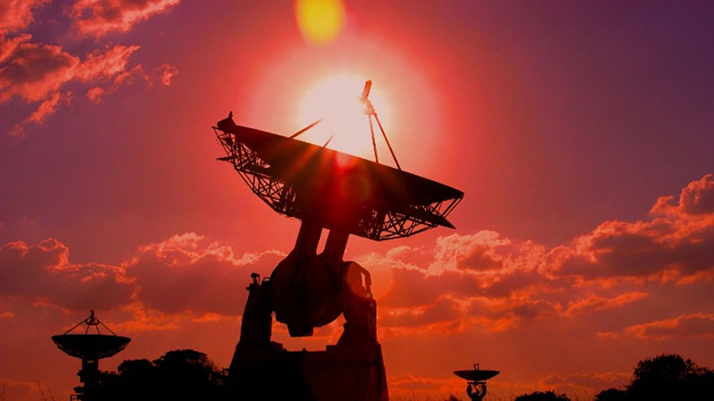
South Africa is expanding the use of space technology to address some of its most pressing environmental and infrastructure challenges after the South African National Space Agency (SANSA) launched three Earth Observation decision-support platforms designed to improve air quality management, strengthen water resource monitoring and enhance flood preparedness. Unveiled on 3 July 2026, the satellite-based tools aim to provide municipalities, regulators, disaster management agencies and water authorities with near real-time data to support faster, evidence-based decision-making as climate-related risks and infrastructure failures intensify across the country.
The launch reflects a broader shift in the role of Earth observation technologies from scientific research toward operational public service delivery. According to SANSA, the platforms convert satellite-derived information into practical intelligence capable of tracking pollution levels, assessing flood risk, monitoring dam conditions and identifying changes in water quality before they escalate into large-scale environmental or public health emergencies.
 The initiative comes as South Africa faces mounting pressure from climate variability, ageing infrastructure and constrained municipal capacity. Flooding has repeatedly damaged transport networks, homes and public infrastructure, while deteriorating wastewater treatment systems and growing water losses continue to undermine service delivery. Air pollution remains a persistent public health concern in industrialised regions, particularly around mining operations, coal-fired power stations and densely populated urban centres.
SANSA’s air quality management platform combines the Air Quality Index with routinely monitored atmospheric pollutants to produce monthly assessments of environmental conditions across towns and cities. The system is designed to identify dominant pollutants, track long-term trends and highlight potential emission sources, providing environmental regulators and public health authorities with data that can support compliance monitoring, pollution mitigation strategies and health advisories.
The ability to identify pollution hotspots through satellite observations could strengthen regulatory oversight in areas such as the Highveld Priority Area, where industrial emissions have long been associated with elevated concentrations of particulate matter and respiratory illnesses. By providing continuous spatial monitoring, satellite-derived information can complement ground-based monitoring stations, particularly in locations where monitoring infrastructure remains limited.
Flood management forms the second component of the new Earth Observation suite. The disaster management platform offers flood-risk mapping, predictive early-warning capability, post-event damage assessment and situational awareness intended to improve emergency planning and resource allocation before and after extreme weather events.
Its introduction follows a series of severe floods that exposed the growing vulnerability of Southern Africa to climate-related disasters. In January 2026, the South African government declared a national disaster after prolonged heavy rainfall affected Limpopo, Mpumalanga, KwaZulu-Natal, the Eastern Cape and North West provinces. The flooding resulted in dozens of fatalities while damaging roads, housing and essential public infrastructure.
According to the World Weather Attribution, flooding across Mozambique, Eswatini, Zimbabwe and North-Eastern South Africa between late 2025 and early 2026 killed more than 200 people and destroyed approximately 173,000 acres of agricultural land. The organisation concluded that extreme ten-day rainfall events have become about 40 percent more intense in observational records, while the prevailing weak La Niña conditions increased both the likelihood and severity of prolonged rainfall episodes.
These findings reinforce growing evidence that climate change is increasing the frequency and intensity of hydrological extremes across Southern Africa. Earlier identification of flood-prone areas through Earth observation could therefore support more effective evacuation planning, infrastructure protection and post-disaster recovery while reducing economic losses associated with delayed response.
The third platform focuses on water resource management, an increasingly critical priority for South Africa as deteriorating municipal infrastructure threatens water security and public health. The system monitors water quantity and quality using satellite indicators, estimates dam and catchment storage levels and provides time-series analysis capable of identifying emerging risks such as eutrophication and declining water quality.
Its deployment coincides with worsening performance across municipal wastewater systems. According to the Department of Water and Sanitation, nearly half of the country’s wastewater treatment facilities are now classified as being in a critical condition. Findings presented through the 2025 Green Drop, Blue Drop and No Drop assessments showed that the proportion of wastewater systems considered critical increased from 39 percent to 47 percent, while the number of facilities achieving excellent or good performance continued to decline.
The deterioration reflects longstanding challenges that include ageing infrastructure, insufficient maintenance, governance instability, limited technical capacity and underinvestment by municipalities. Against this backdrop, independent satellite-based monitoring may provide authorities with an additional layer of verification capable of identifying deteriorating water conditions before conventional reporting systems detect failures.
The wider economic implications extend beyond municipal service delivery. Water insecurity directly affects agriculture, mining, manufacturing and electricity generation, while flooding increasingly disrupts transport infrastructure, insurance markets and local government finances. Air pollution also imposes significant healthcare costs and productivity losses, particularly in industrial regions where chronic exposure contributes to respiratory and cardiovascular disease.
Earth observation technologies are therefore becoming increasingly important as governments seek to improve climate resilience while managing constrained fiscal resources. Satellite monitoring allows authorities to observe large geographic areas consistently, reducing dependence on fragmented field observations and supporting more efficient allocation of maintenance, emergency response and environmental management resources.
According to SANSA Research, Application and Development Manager for Earth Observation Dr. Zakariyyaa Oumar, the platforms represent part of a broader effort to integrate operational Earth observation services directly into user institutions through partnerships, training programmes, service-level agreements and ongoing technical support. He said the systems were developed in response to stakeholder requirements under the Space Infrastructure Hub initiative, reflecting an increasing emphasis on practical applications of satellite technology for national development.
The initiative also aligns with broader continental efforts to strengthen climate resilience through digital technologies, geospatial intelligence and improved environmental governance. Across Africa, governments are increasingly investing in satellite-based monitoring to support agriculture, disaster risk reduction, water management and urban planning as climate variability places growing pressure on public infrastructure and natural resources.
 For South Africa, the success of the new platforms will depend not only on the quality of satellite intelligence but also on the institutional capacity to translate data into timely action. Integrating Earth observation into municipal planning, regulatory enforcement and disaster preparedness could strengthen decision-making across multiple sectors, but sustained investment in technical skills, governance and local implementation will remain essential to ensure that space-based information produces measurable improvements on the ground.
As climate risks become more complex and infrastructure systems face increasing strain, satellite technology is emerging as an important component of public sector resilience. The ability to convert environmental data into operational intelligence may increasingly determine how effectively African governments manage water resources, protect communities from extreme weather and safeguard economic productivity in an era of accelerating climate change.