

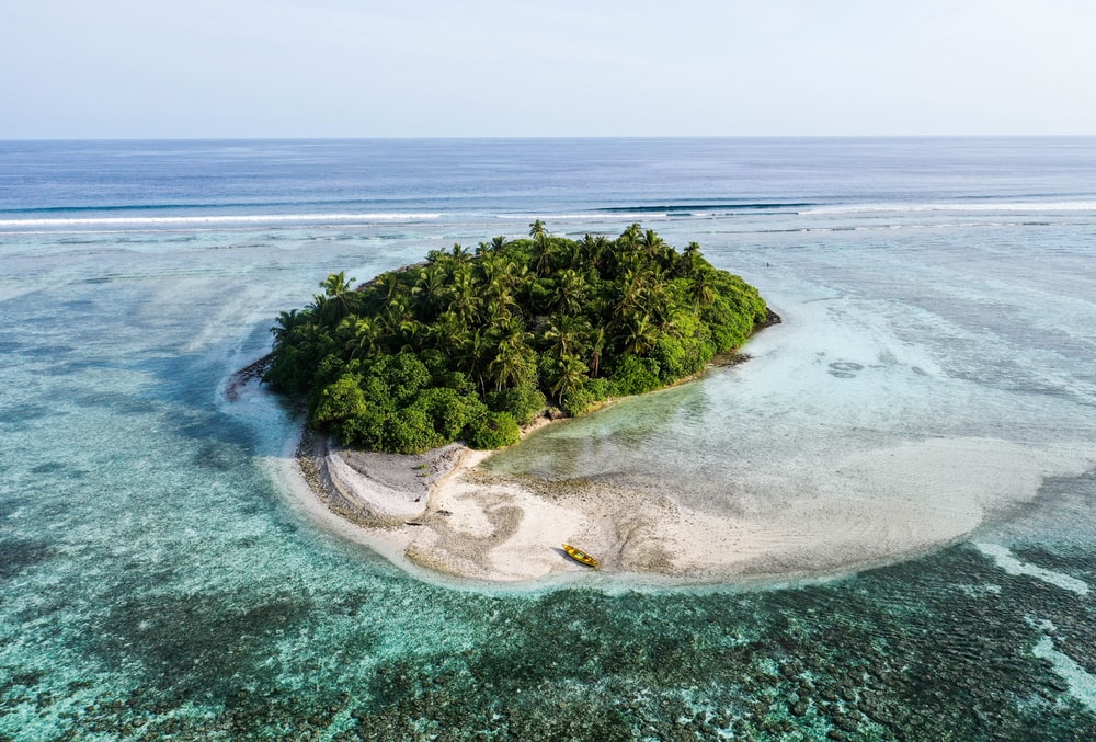
In October 2020, Australian scientists found a detached coral reef skyscraper on Australia’s Great Barrier Reef—nearly 500 meters tall and 1.5 kilometres wide— that exceeds the height of the Eiffel Tower and New York’s Empire State Building. This was the first discovery of its kind in 120 years.
It also signals a challenge – that we know relatively little about what lies underwater, given the high costs and still-nascent technology of ocean exploration.
To better understand the mysteries of the world’s oceans, a team of scientists is using satellite imaging to map out, in unprecedented detail, one of the planet’s most iconic underwater ecosystems: the shallow coral reef.
The researchers are part of the Allen Coral Atlas project, which is led by Vulcan, a philanthropic organization created by late Microsoft co-founder Paul Allen. The United Nations Environment Programme (UNEP) is working with Vulcan to build capacities of coral reef practitioners, managers and policy-makers around the world, especially in developing countries, on how to use the new Atlas.
“The atlas is meant to improve our understanding of our coral reef systems and drive better evidence-based policies to protect corals,” says Chuck Cooper, Managing Director of Government and Community Relations at Vulcan. Read more…